The importance of teaching map skills to children cannot be overstated, as it forms a critical foundation in their cognitive and spatial development.
Map skills go beyond just learning about geographical locations; they help students understand the relationships between objects, distances, and directions, fostering critical thinking and problem-solving abilities.
Integrating map skills into education also exposes students to different elements of maps and promotes an appreciation for the art and science behind cartography.
As technology advances, new tools and techniques have emerged for teaching map skills. Through interactive maps, Geographic Information Systems (GIS), and other digital platforms, educators can create engaging learning experiences that cater to various learning styles.
By developing their geographic literacy, students become more equipped to navigate an increasingly globalized world and understand the interconnected nature of human, physical, and environmental processes.
Key Takeaways
- Map skills are essential for cognitive and spatial development in students.
- Teaching map skills involves understanding various map elements and harnessing technological advancements.
- Developing geographic literacy aids students in understanding global interconnectedness and practical applications.
Foundations of Map Skills
Understanding Cartography
Cartography is the science and art of creating maps, which are essential tools for visualizing and understanding spatial relationships. Teaching map skills in schools is vital for developing a solid foundation of geography and spatial awareness.
This foundation enhances critical thinking and problem-solving in various subject areas. Maps help students interpret and analyze information, connect, and navigate their surroundings effectively.
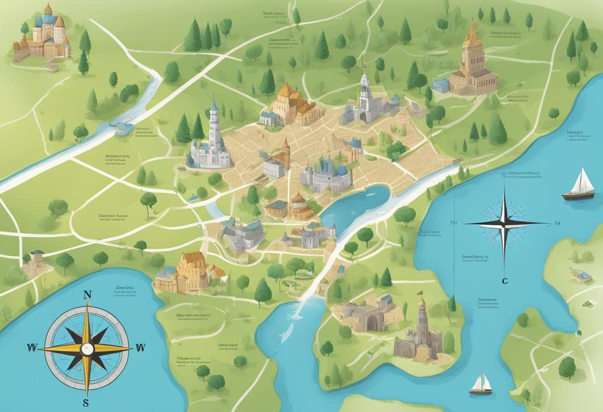
An essential aspect of cartography is understanding map elements such as scale, legend, and symbols. Maps use a scale to represent the relationship between distances on the map and real-world distances.
The legend, also known as the key, explains the meaning of symbols and colours used on the map. Familiarizing students with these aspects of map reading can improve their ability to interpret and apply different types of maps in real-life situations.
Map Types and Their Uses
There are numerous maps, each designed to convey specific information and serve a particular purpose. Introducing students to different map types fosters a broader understanding of the world and its spatial relationships. Here are some common map types and their uses:
- Physical maps: These maps focus on the natural features of the Earth, such as mountains, rivers, and deserts. They use colors to represent different elevations and are vital for understanding the topography of a region.
- Political maps: These maps display the borders of countries, states, and cities, helping students to grasp the political divisions of the world.
- Thematic maps: Focusing on specific themes or topics, these maps can illustrate information such as population density, climate, and economic activities. Thematic maps allow students to analyze and compare data on a spatial level.
- Topographic maps: With contour lines representing elevation changes, topographic maps provide detailed information about the terrain and are essential for hiking and land-use planning activities.
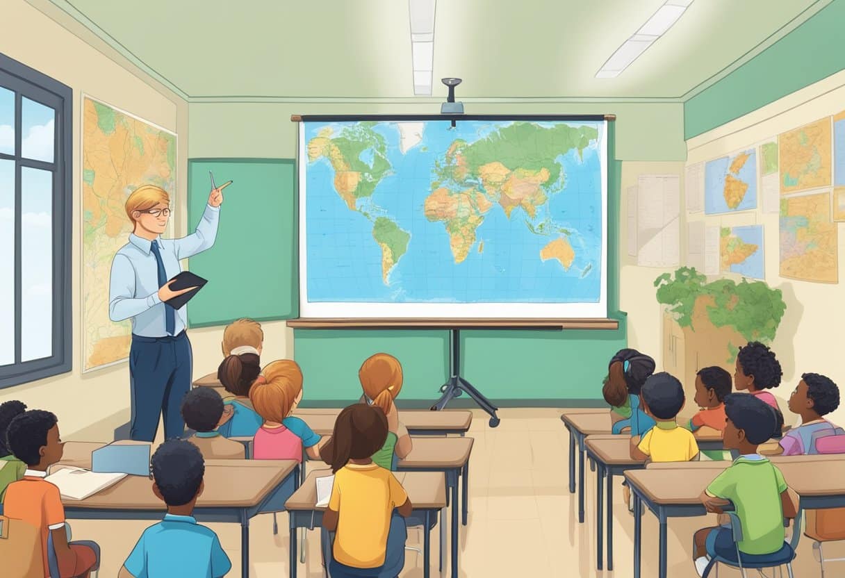
Teaching students to read and interpret different types of maps equips them with a valuable foundational skill, which can be applied across various disciplines and real-life situations.
Through engaging and interactive activities, educators can successfully instil map-reading skills and inspire curiosity about geography and spatial relationships.
Elements of Maps
Symbols and the Legend
Maps use symbols to represent different features or elements in the real world. These symbols represent various geographical features such as roads, rivers, buildings, and forests.
To understand the meaning of these symbols, maps include a map key or legend that briefly explains each symbol.
For example, a blue line might indicate a river, while a solid black line could represent a road. Using standardized symbols in maps helps make them more universally understood and interpretable.
Scale and Distance
Scale is a vital aspect of maps that define the relationship between distances on the map and their corresponding distances in the real world. Map scales can be represented in several ways, such as a ratio (1:100,000), a statement (1 inch represents 1 mile), or a graphical representation (a scale bar).
Understanding the scale of a map is essential for accurately estimating distances between two points or the size of a geographic area.
Maps can have different scales depending on their purpose; smaller-scale maps (e.g., 1:1,000,000) show larger areas with less detail, while larger-scale maps (e.g., 1:50,000) focus on smaller areas with more detail.
Directions and Orientation
Most maps incorporate a compass rose or other directional indicators to help users understand and determine directions.
The compass rose usually displays the cardinal directions—north, south, east, and west—and sometimes ordinal (intercardinal) directions, such as northeast, northwest, southwest, and southeast.
In addition to the compass rose, maps often employ a grid system consisting of lines of latitude and longitude to help users identify specific locations.
Orientation plays a crucial role in map reading. Generally, maps are oriented with the north at the top, but this is not a strict rule. Some maps might have different orientations depending on their purpose or design.
By understanding these fundamental map elements, individuals can effectively interpret and use maps to navigate and develop a better understanding of the world around them.
Teaching children these skills helps develop their spatial awareness and critical thinking abilities, making them more confident in navigating the world and problem-solving in various subjects.
Technological Advancements in Mapping
From Paper Maps to Digital
The transition from traditional paper maps to digital mapping tools has dramatically changed how we perceive and interact with geographical information.
Technology has enabled the development and utilization of advanced systems like Geographic Information System (GIS), Global Positioning System (GPS), and web-based platforms such as Google Earth.
GIS has revolutionized the field of cartography and spatial analysis. It allows the integration, manipulation, and analysis of various data types. This powerful tool enables users to visualize, question, and interpret data in ways that reveal relationships, patterns, and trends.
With the increasing availability of spatial data and improvements in computing power, GIS has become an essential tool for professionals in various fields, such as urban planning, environmental management, and transportation.
In addition, GPS has significantly improved our ability to navigate and locate places accurately. This satellite-based navigation system provides real-time location and time information to users worldwide.
It has not only transformed mobile devices into powerful navigation tools but has also had a significant impact on various industries like transportation, logistics, and agriculture.
Google Earth, a virtual representation of our planet, is another example of how technology has advanced the field of map-making. It combines satellite imagery, aerial photography, and GIS data to create a 3D environment that enables users to explore and interact with the Earth's surface.
Users can easily access a wealth of information, from terrain and landscape features to landmarks and street-level imagery.
Integration of these advanced mapping technologies into educational curricula can significantly enhance the development of map skills and spatial cognition among students.
By incorporating these tools into geography lessons, students can better understand the complexity of spatial relationships and develop critical thinking skills in their spatial inquiries.
Thus, it is essential to align mapping skills with digitally connected childhoods to advance spatial cognition and ways of thinking in primary school geography.
Developing Geographic Literacy
Spatial Thinking and Reasoning
Spatial thinking and reasoning are essential skills in geography education. These skills involve understanding relationships between objects, their locations, and the environment.
By interpreting maps and various geographical representations, students can better understand the world around them.
Research shows that nature education improves students' map literacy skills, reflective thinking skills for problem-solving, and spatial thinking abilities.
Teaching these skills helps students make sense of complex geographical information, enhancing their ability to:
- Analyze spatial patterns and relationships.
- Visualize how changes in one location can affect another.
- Synthesize information from diverse sources to create meaning.
Integrating Map Skills into Education
To build students' geographic literacy, it is crucial to effectively integrate map skills into their education. Educators can use the following strategies:
- Introduce maps through literature: Using literature helps contextualize mapping in a narrative and relates it to each student's world, making it more engaging as Reading Rockets recommends.
- Incorporate hands-on activities: Students are likelier to learn by actively "doing geography," such as creating maps or using interactive digital tools.
- Use various map types: Present students with maps, including topographic, political, and thematic maps, to help them become proficient in interpreting various geographical representations.
Incorporating map skills in education also aligns with the National Assessment of Educational Progress goals, which aim to evaluate students' knowledge and skills in various subjects, including geography.
By fostering geographic literacy, educators can better prepare students for the challenges they encounter in a rapidly changing world.
Practical Applications of Map Skills
Navigating in Daily Life
Map skills are essential in daily life, as they help us understand our surroundings and find the best routes to our destinations. Having map skills allows us to navigate both familiar and unfamiliar locations competently without relying solely on technology like GPS.
This can be particularly useful when technology fails or is unavailable. Additionally, maps can help us visualize the relationships between different places, making it easier to plan activities or trips.
Academic and Professional Uses
Map skills are significant in social studies, science education, and various professions. In academic settings, students learn about the geography and history of different regions by analyzing maps.
Educators often use maps to teach scale, location, and spatial relationships. Organizations like National Geographic and the American Association of Geographers produce maps and educational resources that enhance learning in various subjects.
In many professions, map skills are essential for data collection, location scouting, and strategic planning. For example, urban planners use maps to assess land use and transportation systems, while environmental scientists analyze maps to monitor changes in ecosystems and natural resources.
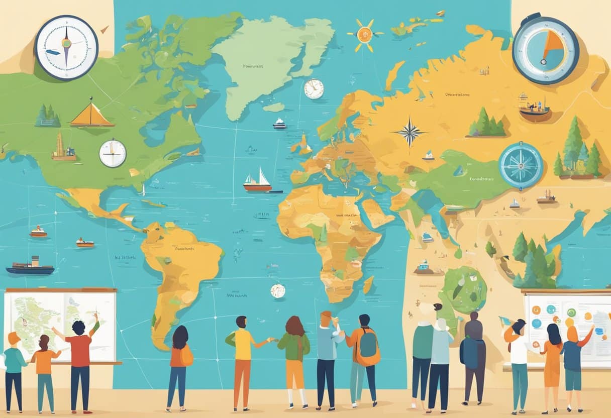
Map Skills in a Global Context
As our world becomes increasingly interconnected, map skills gain even more importance. A solid understanding of maps can help people grasp the complexities of global issues and make more informed decisions.
For example, when we study maps, we can better comprehend climate change's or political conflicts' impacts on different regions.
Furthermore, map skills can be valuable regarding travel and cultural understanding. By being able to read and interpret maps, individuals can more easily navigate foreign countries and develop an appreciation for diverse cultures and landscapes.
Map skills are essential for various practical applications, ranging from daily navigation to academic and professional use and understanding global issues.
By teaching these skills, we equip individuals with the tools to navigate and appreciate their world successfully.